Efficient Geospatial Consulting for Key Industries

Precision-Driven Geospatial Solutions
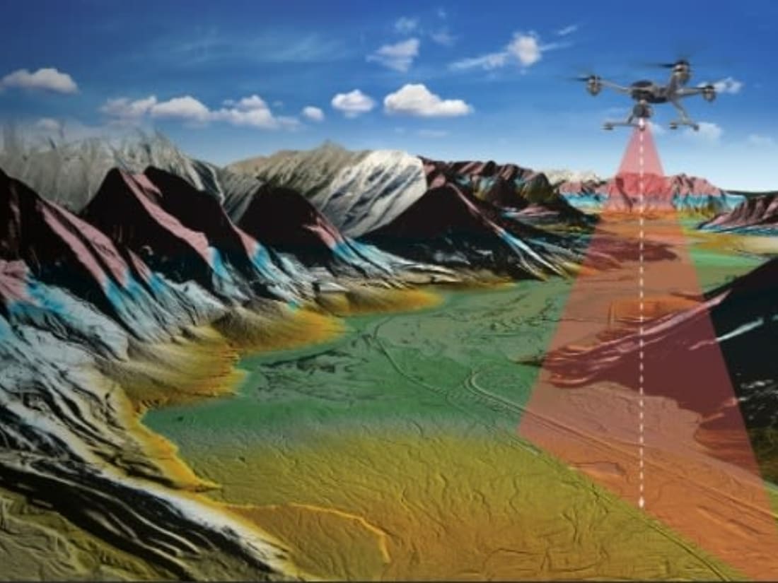
Leveraging GIS and 3D LiDAR to deliver clear, accurate results that drive the success of your projects.

Tailored Consulting for Your Needs
Providing customized GIS services that align with your unique goals, whether for airports, engineering, or government.

Turning Data Into Actionable Insights
Transforming complex geospatial data into practical solutions that inform your key decisions and project strategies

Expertise You Can Count On
Backed by over 40 years of experience, I offer reliable solutions to the challenges in GIS and aerial mapping.
My name is David Barron, and I bring over 40 years of expertise in GIS and aerial mapping to the table, offering precision-driven solutions that empower clients to make informed decisions. With a profound understanding of the aviation, engineering, and government sectors, my mission is to transform raw data into actionable insights through advanced technologies such as 3D LiDAR and GIS mapping. I am committed to delivering results tailored to your unique needs, ensuring efficiency, accuracy, and reliability throughout every phase of your project.
By combining industry-leading geospatial practices with modern technology, I work to enhance your operations with customized consulting services. Whether you are managing airport assets, planning large-scale projects, or refining data workflows, my approach ensures clarity and improves operational efficiency. I am dedicated to helping you unlock the full potential of your geospatial data and drive success for your organization.
